
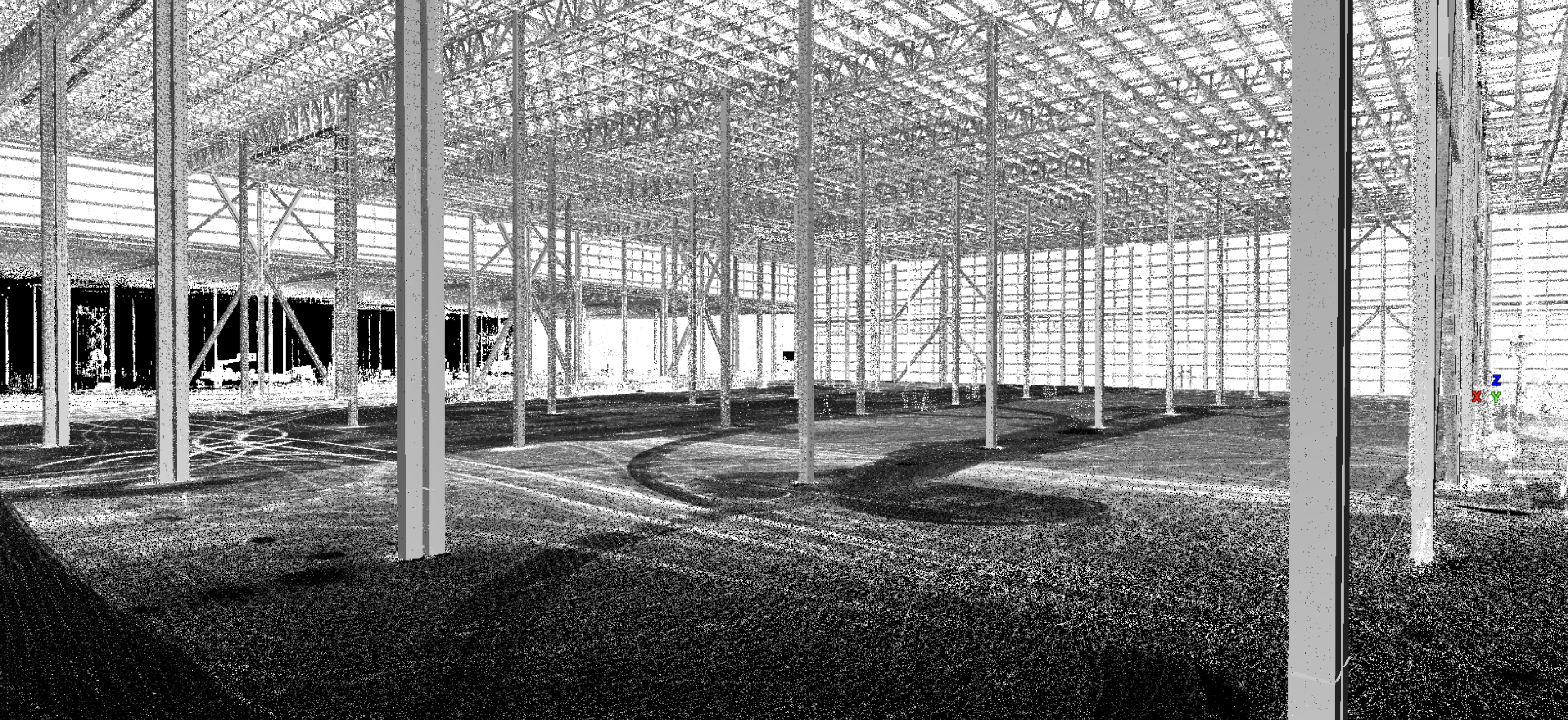
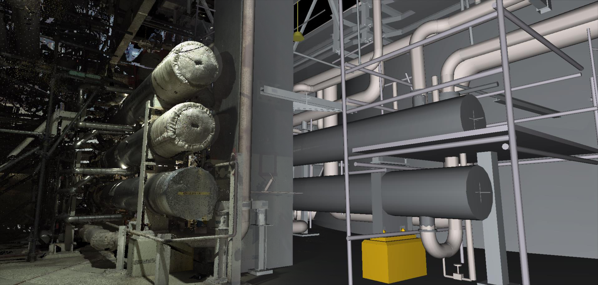
A TOTAL POINT CLOUD DELIVERY SOLUTION
Leica Cyclone is the market-leading point cloud processing software. It is a line of software modules that provides the widest set of work process options for 3D laser scanning projects in engineering, surveying, construction and related applications. The Cyclone line of software consists of ten versions for different needs and 3D deliverables.
Not Ready to Buy? Learn More About Our 3D Scanning Services
Request a Quote

Technical Specifications
Minimum Specification (Desktop Modules)
- Processor | Dual core processor running at 2.5GHz
- RAM | Minimum 8 GB or more for 64-bit OS
- Operating System | Windows® 10 (64 bit), excluding Bootcamp for MacOS
- Graphics | Support for OpenGL 3.3 or higher with 1GB video memory
- Hard Disk | At least 1GB of free disk space required for install
This spec is recommended only for viewing andor working on smaller projects.
Recommended Specification for Workstation (Desktop Modules)
- Processor | Latest i9 quad core 10th generation at 3.5GHz or higher
- RAM | 64 GB
- Operating System | Windows® 10 (64 bit), excluding Bootcamp for MacOS
- Graphics | Nvidia Quadro, Nvidia GeForce or AMD Radeon. 8 GB dedicated video memory
- Hard Disk | Internal SSD drives. One for writing and one for reading.
To ensure the best performance, it is recommended that you install the latest graphics card drivers from the manufacturer’s website.
This spec is recommended when working with Cyclone REGISTER, MODEL, SURVEY and Cyclone REGISTER 360.
Recommended Specification for Workstation (Tablet Modules)
- Processor | Intel Core i5 2.4 GHz or higher
- RAM | 16 GB or higher
- Operating System | Windows® 10 (64 bit), excluding Bootcamp for MacOS
- Graphics | Intel HD graphics 520 or higher
- Hard Disk | Internal SSD drive
- Port | Ethernet port or Ethernet Adapter
To ensure the best performance, it is recommended that you install the latest graphics card drivers from the manufacturer’s website. This spec is recommended when working with Cyclone FIELDWORX.